Ecu_24_Quilotoa
- Distance: 50.9 Km
- Elevation gain: 2,368 m
- Maximum elevation: 3,886 m
- Elevation loss: 2,948 m
- Minimum elevation: 2,530 m
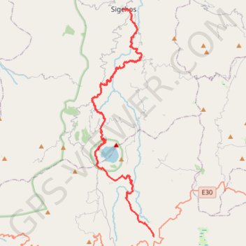
Interactive map
GPS track profile
About this GPS track
Name: Ecu_24_Quilotoa GPS track, route, trail
Start: Tigua Rumichaca, Zumbahua, Pujilí, Cotopaxi, 050405, Équateur (-0.94725 -78.85630)
Coordinates: -0.94725 -78.92232 -0.70515 -78.85619
Other GPS tracks
Click on a GPS track to view route, its statistics and profile.
Chugchilan to Quilotoa
Équateur > Cotopaxi > Sigchos > Chugchillan > Itupungo Bajo
Distance: 11.4 Km • Elevation gain: 1,074 m • Maximum elevation: 3,877 m