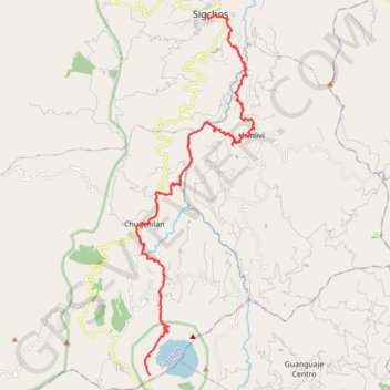
Sigchos-Isilivì-Chugchilan-Quilotoa
- Distance: 36.2 Km
- Elevation gain: 2,476 m
- Maximum elevation: 3,865 m
- Elevation loss: 1,491 m
- Minimum elevation: 2,525 m
- Moving time: 11 h 22 m
- Moving speed: 3.2 Km/h
- Maximum speed: 12.7 Km/h
- Total time: 2 d 5 h
- Global speed: 0.7 Km/h
- Date: 29/12/19
Interactive map
GPS track profile
About this GPS track
Name: Sigchos-Isilivì-Chugchilan-Quilotoa GPS track, route, trail
Start: Rumiñahui, Culacusi, Sigchos, Cotopaxi, 050750, Équateur (-0.70486 -78.89040)
Coordinates: -0.86687 -78.92227 -0.70486 -78.86920
Other GPS tracks
Click on a GPS track to view route, its statistics and profile.
Ecu_24_Quilotoa
Équateur > Cotopaxi > Pujilí > Zumbahua > Tigua Rumichaca
Distance: 50.9 Km • Elevation gain: 2,368 m • Maximum elevation: 3,886 m
Chugchilan to Quilotoa
Équateur > Cotopaxi > Sigchos > Chugchillan > Itupungo Bajo
Distance: 11.4 Km • Elevation gain: 1,074 m • Maximum elevation: 3,877 m