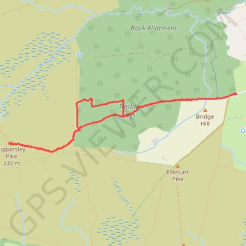
Timble Ings - Lippersley Pike walk
- Distance: 5.3 Km
- Elevation gain: 73 m
- Maximum elevation: 325 m
- Elevation loss: 73 m
- Minimum elevation: 260 m
- Moving time: 1 h 45 m
- Moving speed: 3.0 Km/h
- Maximum speed: 5.3 Km/h
- Total time: 2 h 13 m
- Global speed: 2.4 Km/h
- Date: 12/04/24
Interactive map
GPS track profile
About this GPS track
Name: Timble Ings - Lippersley Pike walk GPS track, route, trail
End: Great Timble, Timble, North Yorkshire, England, LS21 2PW, United Kingdom (53.97249 -1.74947)
Coordinates: 53.96745 -1.78293 53.97250 -1.74941