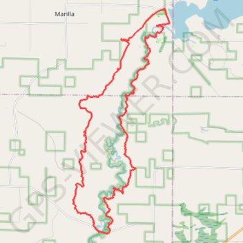
Manistee River Loop
Loop hike from Hodenpyl Dam Pond to Red Bridge via North Country National Scenic Trail (NCT), Manistee River Trail and Stagle Creek Overlook in the Manistee National Forest. #Hike #Loop #River #Nature #Forest #Lake #Dam #Overlook
- Distance: 32.3 Km
- Elevation gain: 697 m
- Maximum elevation: 345 m
- Elevation loss: 698 m
- Minimum elevation: 211 m
- Moving time: 7 h 42 m
- Moving speed: 4.2 Km/h
- Maximum speed: 6.2 Km/h
- Total time: 8 h 31 m
- Global speed: 3.8 Km/h
- Date: 28/07/21
Interactive map
GPS track profile
About this GPS track
Name: Manistee River Loop GPS track, route, trail
Coordinates: 44.28327 -85.87623 44.37271 -85.82234