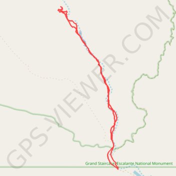
Wahweap Hoodoos Trail
Hike along the Wahweap Creek via the Nipple Canyon Road and the Wahweap Hoodoos Trail in the Grand Staircase-Escalante National Monument and the Wahweap Wilderness Study Area. #Hike #Nature #River #Wilderness
- Distance: 15.2 Km
- Elevation gain: 157 m
- Maximum elevation: 1,313 m
- Elevation loss: 165 m
- Minimum elevation: 1,224 m
- Moving time: 4 h 44 m
- Moving speed: 3.2 Km/h
- Maximum speed: 4.5 Km/h
- Total time: 5 h 50 m
- Global speed: 2.6 Km/h
- Date: 19/10/07
Interactive map
GPS track profile
About this GPS track
Name: Wahweap Hoodoos Trail GPS track, route, trail
Start: Nipple Creek Road, Utah, United States (37.10600 -111.68713)
End: Nipple Creek Road, Utah, United States (37.10643 -111.68722)
Coordinates: 37.10600 -111.71310 37.16225 -111.68713