McDowell Sonoran Preserve
Interactive map
GPS track profile
About this GPS track
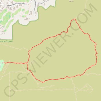
Name: McDowell Sonoran Preserve GPS track, route, trail
Start: Saguaro Trail, Scottsdale, Maricopa County, Arizona, 85255, United States (33.64939 -111.85822)
End: Gateway Loop Trail, Scottsdale, Maricopa County, Arizona, 85060, United States (33.64914 -111.85209)
Coordinates: 33.64501 -111.85822 33.65909 -111.83331
Other GPS tracks
Click on a GPS track to view route, its statistics and profile.