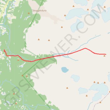
Ellendaltinden West Couloir
- Distance: 13.0 Km
- Elevation gain: 1,245 m
- Maximum elevation: 1,287 m
- Elevation loss: 1,245 m
- Minimum elevation: 42 m
Interactive map
GPS track profile
About this GPS track
Name: Ellendaltinden West Couloir GPS track, route, trail
Start: Djupenvegen, Djupen - Juhpa, Tromsø, Troms og Finnmark, 9045, Norvège (69.38359 19.63594)
End: Djupenvegen, Djupen - Juhpa, Tromsø, Troms og Finnmark, 9045, Norvège (69.38359 19.63594)
Coordinates: 69.37756 19.63558 69.38415 19.77920
Other GPS tracks
Click on a GPS track to view route, its statistics and profile.
Stage 1: Arctic Ocean to Väylä — European Divide Trail
Distance: 2,785.0 Km • Elevation gain: 23,823 m • Maximum elevation: 722 m