Chukhung pangboche
File with points/tracks from Locus Map/4.11.1
- Distance: 11.4 Km
- Elevation gain: 180 m
- Maximum elevation: 4,732 m
- Elevation loss: 910 m
- Minimum elevation: 3,940 m
Interactive map
GPS track profile
About this GPS track
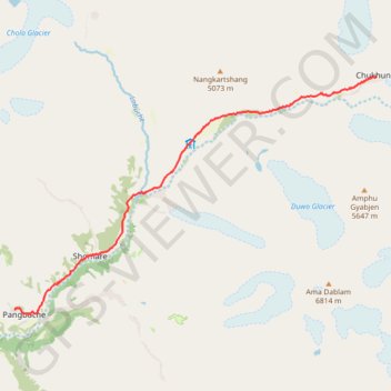
Name: Chukhung pangboche GPS track, route, trail
Coordinates: 27.85574 86.78797 27.90446 86.87147