Killington Peak
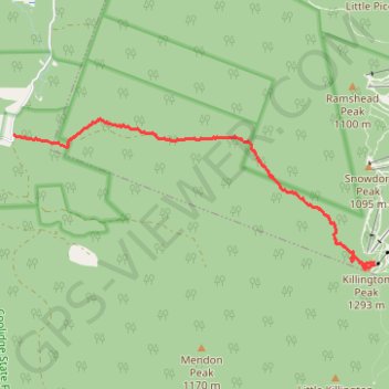
Hike from Brewers Corner to the Killington Peak via Bucklin Trail and the Brewers Brook in the Rutland City Forest, the Coolidge State Forest and the Green Mountain National Forest. #Hike #Mountain #Forest #Nature
- Distance: 6.7 Km
- Elevation gain: 738 m
- Maximum elevation: 1,278 m
- Elevation loss: 29 m
- Minimum elevation: 550 m
- Moving time: 1 h 50 m
- Moving speed: 3.7 Km/h
- Maximum speed: 13.1 Km/h
- Total time: 2 h 6 m
- Global speed: 3.2 Km/h
- Date: 02/09/19
Interactive map
GPS track profile
About this GPS track
Name: Killington Peak GPS track, route, trail
Coordinates: 43.60426 -72.87651 43.62155 -72.81882
Other GPS tracks
Click on a GPS track to view route, its statistics and profile.