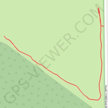
GoMap__2024_04_21__16_46_10
- Distance: 0.5 Km
- Elevation gain: 3 m
- Maximum elevation: 203 m
- Elevation loss: 1 m
- Minimum elevation: 200 m
- Moving time: 9 m 34 s
- Moving speed: 2.9 Km/h
- Maximum speed: 4.1 Km/h
- Total time: 10 m 13 s
- Global speed: 2.7 Km/h
- Date: 22/04/24
Interactive map
GPS track profile
About this GPS track
Name: GoMap__2024_04_21__16_46_10 GPS track, route, trail
Start: South 11000 East Road, Kankakee County, Illinois, 60954, United States (41.07502 -87.65893)
End: 3362, South 11000 East Road, Kankakee County, Illinois, 60954, United States (41.07519 -87.65658)
Coordinates: 41.07388 -87.65893 41.07552 -87.65658
Other GPS tracks
Click on a GPS track to view route, its statistics and profile.
Kankakee Sands in Illinois
United States > Illinois > Kankakee County
Distance: 2.6 Km • Elevation gain: 4 m • Maximum elevation: 203 m