Peekaboo Camp
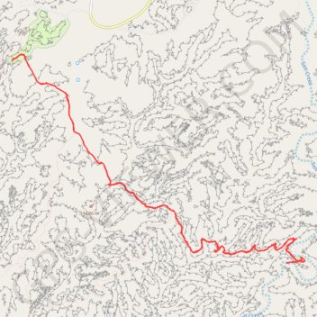
Hike to Peekaboo Camp via Squaw Canyon Trail, Peekaboo Trail and Salt Creek Canyon Trailhead in the Needles District and the Canyonlands National Park. #Hike #Nature #Rock #Park
- Distance: 18.2 Km
- Elevation gain: 620 m
- Maximum elevation: 1,656 m
- Elevation loss: 616 m
- Minimum elevation: 1,532 m
- Moving time: 4 h 5 m
- Moving speed: 4.5 Km/h
- Maximum speed: 23.2 Km/h
- Total time: 4 h 30 m
- Global speed: 4.0 Km/h
- Date: 14/03/24
Interactive map
GPS track profile
About this GPS track
Name: Peekaboo Camp GPS track, route, trail
Start: CR 1181, San Juan County, Utah, United States (38.14288 -109.80566)
End: CR 1181, San Juan County, Utah, United States (38.14260 -109.80598)
Coordinates: 38.11427 -109.80598 38.14367 -109.75357
Other GPS tracks
Click on a GPS track to view route, its statistics and profile.