Gateway Loop
Interactive map
GPS track profile
About this GPS track
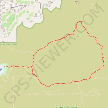
Name: Gateway Loop GPS track, route, trail
Coordinates: 33.64504 -111.85914 33.65907 -111.83337
Other GPS tracks
Click on a GPS track to view route, its statistics and profile.
Name: Gateway Loop GPS track, route, trail
Coordinates: 33.64504 -111.85914 33.65907 -111.83337
Click on a GPS track to view route, its statistics and profile.