Picton - Onamalutu Campsite
Interactive map
GPS track profile
About this GPS track
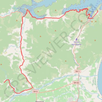
Name: Picton - Onamalutu Campsite GPS track, route, trail
End: Onamalutu Campsite, Onamalutu Road, Marlborough, New Zealand (-41.45841 173.70459)
Coordinates: -41.48668 173.70459 -41.26538 174.03268
Topography: Marlborough topographic map
Other GPS tracks
Click on a GPS track to view route, its statistics and profile.