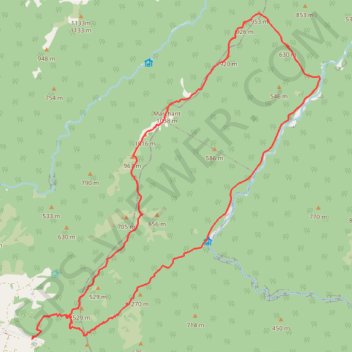
English (New Zealand)
English (United States)
English (Australia)
English (Canada)
English (Hong Kong)
English (India)
English (Ireland)
English (Israel)
English (New Zealand)
English (Philippines)
English (Singapore)
English (South Africa)
English (United Kingdom)
English (United States)
English (Zimbabwe)
Français (Belgique)
Français (Canada)
Français (France)
Français (Luxembourg)
Français (Suisse)
GPS tracks
visualization and sharing, free and without registration.
Import a
GPX
file
Marchant
GPS tracks
>
New Zealand
>
Wellington
>
Upper Hutt City
>
Marchant
#
Hike
#
Loop
Distance
:
25.9 Km
Elevation gain
:
1,609 m
Maximum elevation
:
1,025 m
Elevation loss
:
1,612 m
Minimum elevation
:
188 m
Download
GPS track
Interactive map
Share this GPS track on...
GPS track profile
About this GPS track
Name
: Marchant GPS track, route, trail.
Start
:
Kiwi Ranch Road, Upper Hutt City, Wellington, 5372, New Zealand
(
-41.07511
175.22834
)
End
:
Kiwi Ranch Road, Upper Hutt City, Wellington, 5372, New Zealand
(
-41.07527
175.22811
)
Coordinates
:
-41.07527 175.22811 -41.00541 175.31000
Topography
:
Marchant topographic map